
Pond & Lake Mapping & Surveying Services Contractor
|

|
|
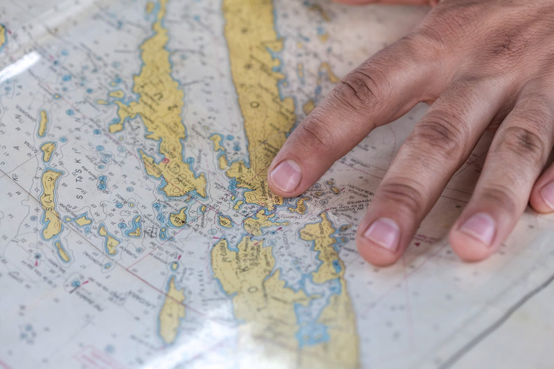
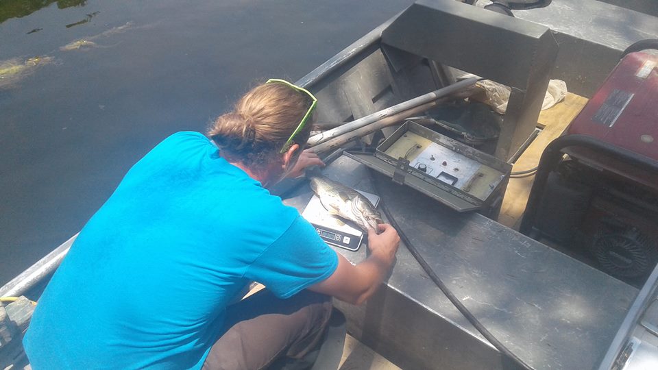
Pond and Lake mapping gives us and you the full picture of pond. The depth, size, and construction of your pond can determine which fish and plants will thrive best in your ecosystem. Using advanced depth finders and GPS we can give you an accurate map of your pond or lake and take a survey of the fish in your pond to gauge the next steps for your pond.
In addition to selecting compatible fish and plants for the San Marcos, San Antonio & Austin TX area, these lake maps can be used for sedimentation control, volume calculation, recreation maps, habitat and ecology management, watershed management, and fishing maps. |
|
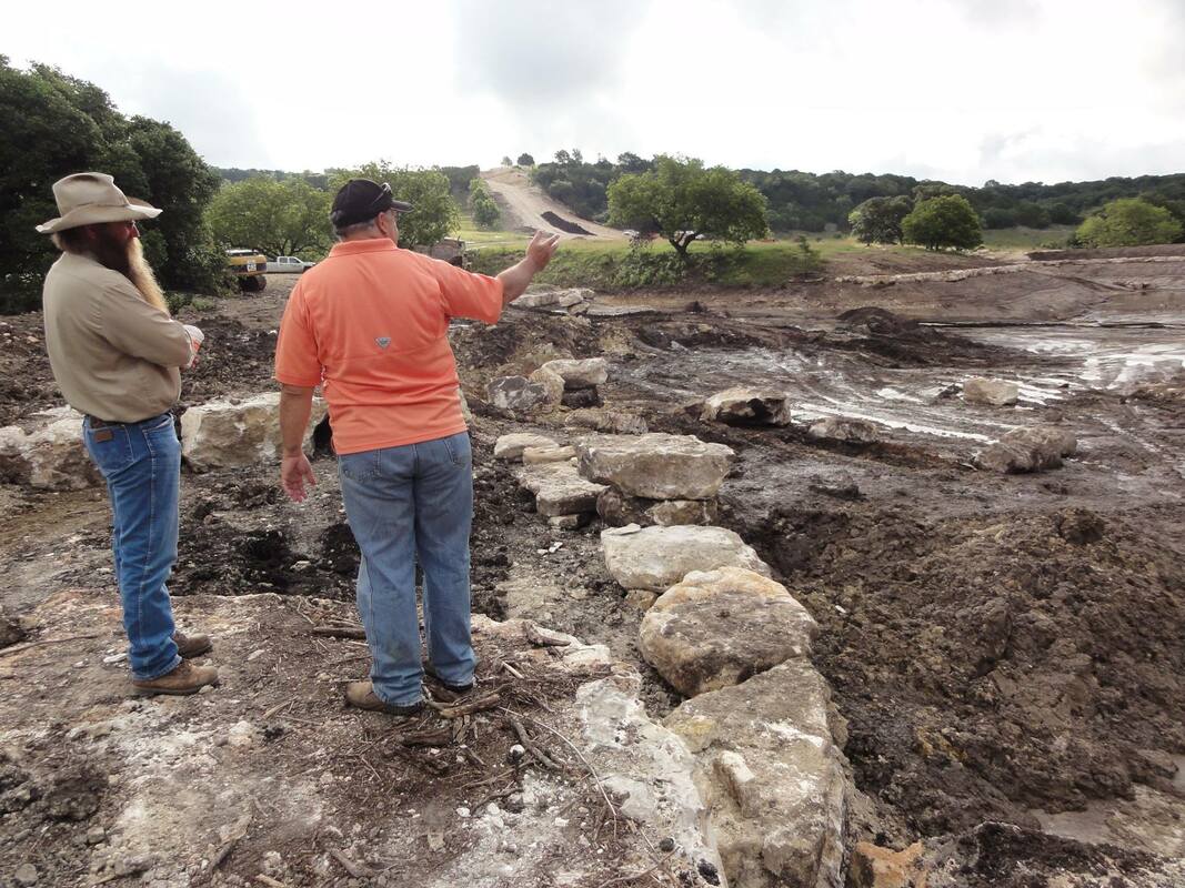
Sediment and pond muck can build up on the bottom of your pond flooding your pond with overabundance of nitrates that feed into your weed and algae problems and create an unhealthy environment for fish. Pond mapping can help to identify problem areas that may need to be dredged.
We Service The Greater
|

|

|